Best Things To Do at Devils Tower National Monument
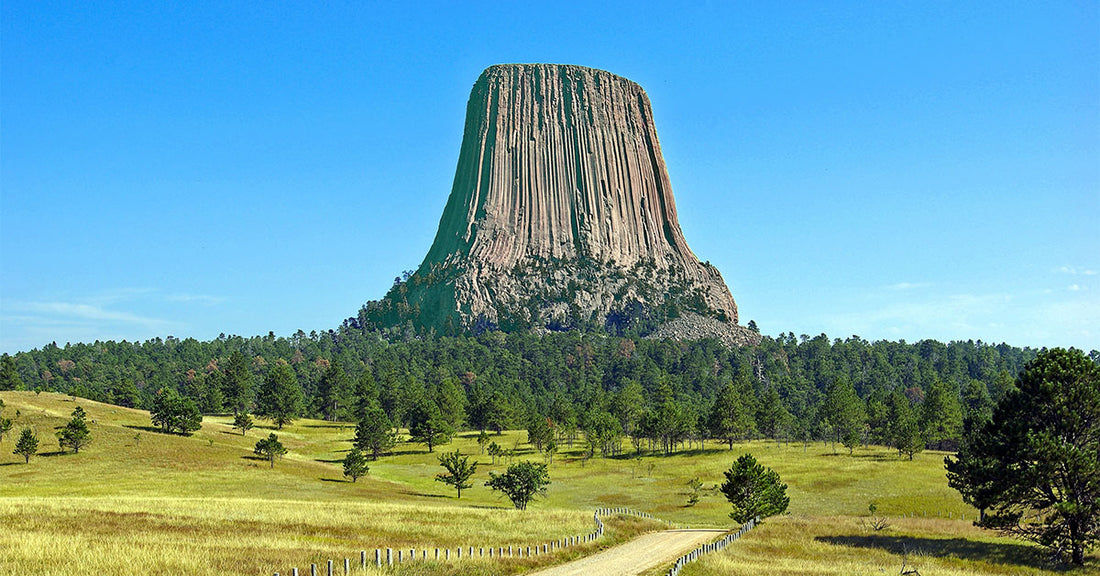
Robert DeckerDevils Tower National Monument boasts one of Earth's most impressive geological features that protrudes out of the prairie surrounding the Black Hills. It is considered sacred by Northern Plains Indians and indigenous people. Hundreds of parallel cracks make it one of the finest crack climbing areas in North America. Devils Tower entices us to learn more, explore more and define our place in the natural and cultural world. President Theodore Roosevelt proclaimed Devils Tower as the first national monument on September 24, 1906.
My name is Rob Decker and I’m a photographer and graphic artist with a single great passion for America’s National Parks! Devils Tower National Monument is a unique place and well worth the visit - if you're in the South Dakota/Wyoming area. So if this is your first time to the tower, or your returning after many years, here are some things you should know about Devils Tower National Monument!
Climbing
Hundreds of parallel cracks divide Devils Tower into large hexagonal columns. These features make it one of the finest traditional crack climbing areas in North America. The cracks vary in length and width: some are wide enough to fit your entire body, others barely have room for your fingers; the longest crack extends nearly 400 feet upwards.
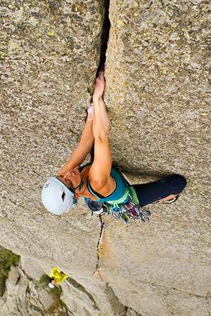
Crack climbing is a specialized technique used on many routes at Devils Tower
NPS photo / Lucas Barth
Technical difficulty ratings range from 5.7 to 5.13; many modern climbers consider the oldest routes (Durrance and Wiessner) harder than their original ratings. The majority of routes at the Tower are not bolt protected and require the appropriate selection of camming devices or other temporary anchors. The few bolted face climbs that exist were established in the 1980s and 1990s; the condition of some bolts reflect that era.
Hiking the Less-Traveled Trails
Practice social distancing with a hike on some of the quieter trails. These hikes offer solitude as well as spectacular views of the Tower.
Joyner Ridge Trail
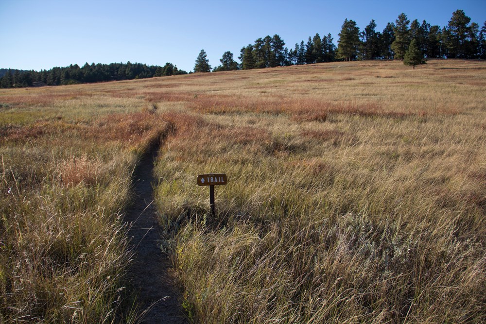
NPS photo
Along the north boundary of the park is a 1.5-mile (2.4 km) loop trail that follows Joyner Ridge and dips down into the draw below. Access the trailhead by taking the dirt road from the main park road as you head to or leave from the visitor center parking lot.
- 1.5 mile (2.4 km) loop
- Trail Access: Joyner Ridge trailhead parking area or Red Beds Trail via 0.6-mile (1 km) connector trail
- Significant elevation change along eastern portion, dropping from or climbing to the ridge
- Offers scenic views of Tower, prairie, and surrounding landscape
- Dirt road access to trailhead/small parking lot
Red Beds Trail
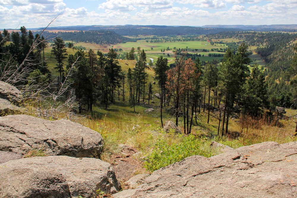
Red Beds Trail offers diverse views of the Tower and the surrounding landscape.
NPS photo
For those seeking a more traditional hiking experience, this 2.8-mile (4.8 km) loop will offer great views of the Tower and surrounding Belle Fourche River valley.
- 2.8 mile (4.5 km) loop
- Trail access: visitor center parking lot or all other park trails
- Parts of this trail are steep, as it climbs up and down between the river valley and visitor center
- Offers stunning views of the Tower and surrounding geologic formations
South Side Trail
NPS photo
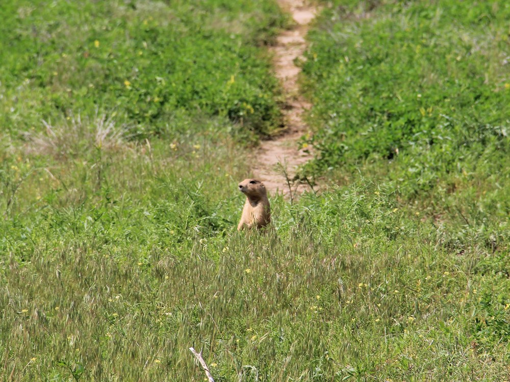
This trail begins from the amphitheater and proceeds through the prairie dog town 0.6 miles (1 km) to link into Red Beds Trail. South Side Trail can be used with Red Beds to hike to the visitor center from the picnic area parking lot.
- 0.6 mile (1 km) trail
- Trail Access: picnic area parking lot or Red Beds Trail
- One road crossing
- Walk through prairie dog town with slight/no elevation change
- Moderate/steep elevation change once you cross the park road
- Connects to Red Beds Trail
Valley View Trail
NPS photo
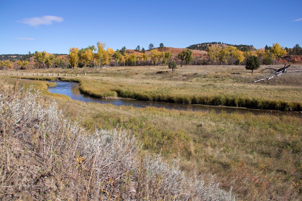
Beginning from the amphitheater, this trail winds through prairie dog town and offers picturesque views of the Belle Fourche River. With little/no change in elevation, this is a gentle trail for stretching your legs.
- 0.6 mile (1 km) trail
- Trail Access: picnic area parking lot or Red Beds Trail
- One road crossing
- Slight/no elevation change
- Walk through prairie dog town and see gorgeous views of the Belle Fourche River
- Connects to Red Beds Trail
Tower Trail
NPS photo
The paved, 1.3-mile (2 km) Tower Trail starts across the parking area from the visitor center. A short, steep section leads to you a junction that you can take either way to walk around the base of the Tower.
As you walk the Tower Trail, you will notice cloths or small bundles attached to the trees. These are Native American prayer cloths and represent the spiritual connection many tribes have with the Tower. Please do not touch, disturb or remove these prayer cloths. Some consider it culturally insensitive to photograph these prayer cloths.
- 1.3 mile (2 km) loop
- Paved
- Trail Access: visitor center parking lot or Red Beds Trail
- Stretches of moderate elevation change
- Offers close-up views of the Tower and boulder field, as well as sweeping views of the surrounding landscape
- Most popular hike in the park, can get very crowded
Night Sky Viewing
As darkness falls on Devils Tower, a different kind of light illuminates the night sky. That light comes from objects in deep space, and transforms the night from a place of darkness into a place of wonder.

Night sky and Milky Way over Devils Tower
NPS / Devin Cherry
The night sky inspires human lives too. Oral histories about the Tower incorporate tribal star knowledge. Astronomers and night sky photographers seek out the darkness of parks like Devils Tower National Monument, islands of night in an ever-brighter world. What inspiration can you find as you enjoy the darker side of the first national monument?
In Lakota, Devils Tower is known as "mato tipi la paha" or "The Hill of the Bear's Lodge." More commonly called Mato Tipila (Bear Lodge). Through their oral traditions, Lakotas have passed on their knowledge of the stars to current generations. In addition to other known Lakota constellations, "Mato Tipila" shines brightly in the northern hemisphere. The fact that it shares the name of the geographic feature known as Devils Tower is no coincidence
Ranger Programs
Ranger programs are offered Memorial Day through Labor Day, with some programs continuing in September. Times and availability will vary, so check the visitor center for the most updated information. The online event calendar is a good place to check for programs and events happening at the park.
Click here to see the Devils Tower National Monument poster.
Click here to see the Devils Tower National Monument Sticker.
Rob Decker is a photographer and graphic artist who had the rare privilege of studying under Ansel Adams in Yosemite National Park when he was just 19 years old. Now, Rob is on a journey to explore and photograph all of America’s National Parks. He’s creating WPA-style posters to help people celebrate their own national park adventures — as well as encourage others to get out and explore!

